
Description
Author , Published by AA Publishing ISBN 9780749584115 EAN 9780749584115 Bic Code WTRM Cover Hardback
£5.99
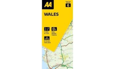
Britain’s clearest mapping from the experts at the AA, in a handy foldable map. Fully updated, this map of Wales combines clear design and an easy-to-read scale with more road detail to ensure that you never lose your way. The map includes information on toll points, service areas, road numbers, motorways, dual carriageways and wide and narrow local roads. National Parks, and places of interest are also highlighted. Caravan and camping sites pinpointed on the mapping. City and town plans Easy-to-read place index name. Part of a range of 9 regional sheet maps plus 1 map covering the whole of Britain. Map Series – 1 West Country & Wales. 2 Central Southern England. 3 South East England. 4 East Anglia. 5 Midlands & Central England. 6 Wales. 7 Northern England. 8 North England & Scottish Borders. 9 Scotland. 10 Britain.
1 in stock
Author , Published by AA Publishing ISBN 9780749584115 EAN 9780749584115 Bic Code WTRM Cover Hardback
| Weight | 122 g |
|---|



Reviews
There are no reviews yet.